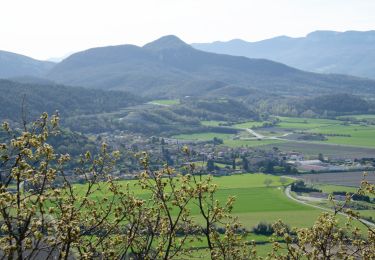
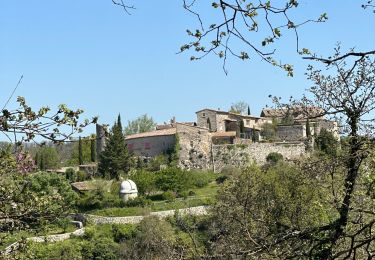
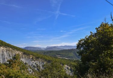
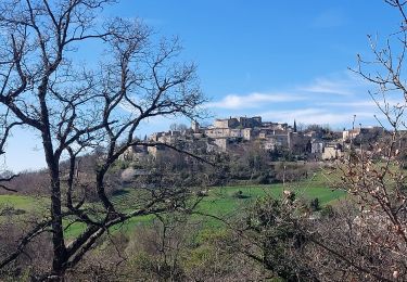
Trail Walking La Roche-sur-Grane - la Pierre Sanglante au départ de La Roche sur Grâne. - Photo

la Pierre Sanglante au départ de La Roche sur Grâne.

© OpenStreetMap contributors
Length
Length
13.9 km
Max alt
Max alt
463 m
Uphill gradient
Uphill gradient
327 m
Km-Effort
Km-Effort  
18.2 km
Min alt
Min alt
260 m
Downhill gradient
Downhill gradient
327 m
Boucle
Boucle
Yes
Creation date :
2023-02-02 09:54:05.357
Updated on :
2023-02-02 19:35:46.348

(1 Reviews)

Walking
Walking
3h11
Difficulty : Easy

Scan this QR Code to open this trail in the SityTrail application

FREE GPS app for hiking

Logo SityTrail SityTrail

IGN / Geographical institutes

Download SityTrail from the App Store Download SityTrail from Google Play

Logo SityTrail SityTrail World

The world is yours!

Download SityTrail from the App Store Download SityTrail from Google Play Download SityTrail on Huawei AppGallery

About

Trail Walking of 13.9 km to be discovered at Auvergne-Rhône-Alpes, Drôme, La Roche-sur-Grane. This trail is proposed by LydiaMich .

Description

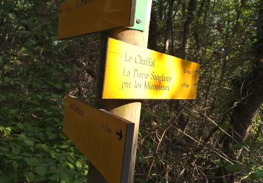
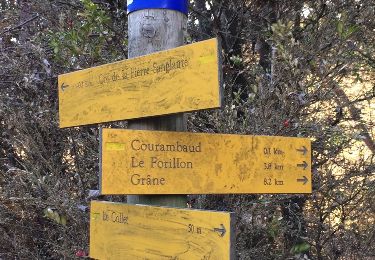
Randonnée bien sympathique en terrain varié sans difficulté. Un vieux balisage de couleur jaune est en place mais pas toujours bien visible ainsi que quelques panneaux d'indication. Après la randonnée ne pas oublier une petite visite du village en surplomb du parking de la Mairie lieu de départ de la rando. Crêtes bien ventées pour nous.

Elevation profile

Positioning

Country:
France
Region :
Auvergne-Rhône-Alpes
Department/Province :
Drôme
Municipality :
La Roche-sur-Grane
Location:
Unknown
Start:(UTM)
653864 ; 4949370 (31T) N.

Comments

Please log in to post a review or rate the element


Plus que superbe


Trails nearby

Trail Walking Puy-Saint-Martin - La Montagne de Ste-Euphémie - Puy-St-Martin - Manas - Photo
Walking
Philindy26

Walking

Medium
Puy-Saint-Martin, Auvergne-Rhône-Alpes, Drôme, France
14.4 km | 22 km-effort
5h 5min
Yes
Trail sport La Roche-sur-Grane - La Roche Sur Grane Pierre sanglante  - Photo
sport
alinetpierre

sport

Very easy
La Roche-sur-Grane, Auvergne-Rhône-Alpes, Drôme, France
13 km | 17 km-effort
Unknown
Yes
Trail Walking Roynac - 2022-10-20_15h11m02_GPX-Baron-Chevriere-Roynac - Photo
Walking
chancha

Walking

Difficult
Roynac, Auvergne-Rhône-Alpes, Drôme, France
10.6 km | 15.7 km-effort
3h 34min
Yes
Trail Walking Autichamp - Autichamp 9Km - Photo
Walking
chancha

Walking

Difficult
(1)
Autichamp, Auvergne-Rhône-Alpes, Drôme, France
8.8 km | 13.2 km-effort
2h 59min
Yes
Trail Walking Grane - Grane jour 6 - Photo
Walking
Jackoyo

Walking

Very easy
Grane, Auvergne-Rhône-Alpes, Drôme, France
8.5 km | 12.4 km-effort
2h 17min
Yes
Trail Walking Autichamp - 2022-06-24_19h04m17_Autichamp 16km.gpx.xml - Photo
Walking
chancha

Walking

Very difficult
Autichamp, Auvergne-Rhône-Alpes, Drôme, France
16.3 km | 23 km-effort
5h 9min
Yes
Trail Walking La Roche-sur-Grane - La Pierre Sanglante  - Photo
Walking
Pacekall

Walking

Easy
La Roche-sur-Grane, Auvergne-Rhône-Alpes, Drôme, France
13.6 km | 17.8 km-effort
2h 57min
Yes
Trail Walking La Roche-sur-Grane - La Pierre Sanglante  - Photo
Walking
ajd26

Walking

Easy
La Roche-sur-Grane, Auvergne-Rhône-Alpes, Drôme, France
13.6 km | 17.8 km-effort
2h 57min
Yes
Trail Walking Grane - Malaire - Photo
Walking
sklada

Walking

Easy
Grane, Auvergne-Rhône-Alpes, Drôme, France
11.3 km | 15 km-effort
3h 51min
Yes


Close
My subscriptions